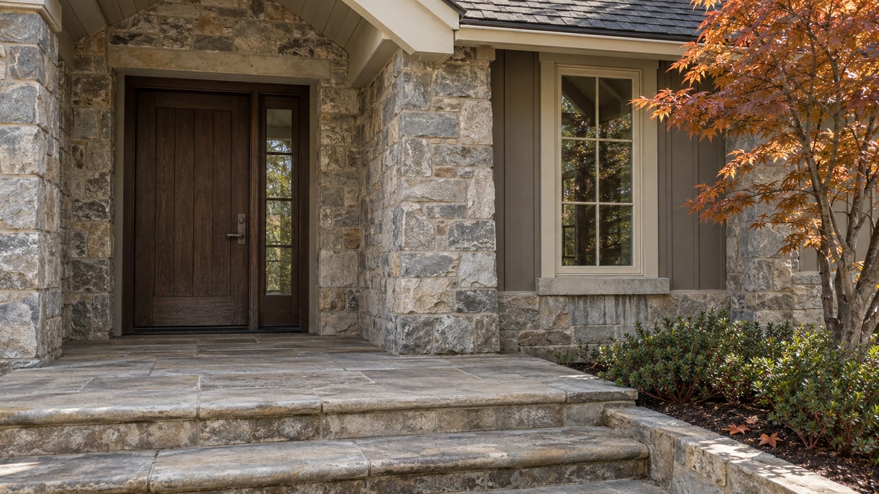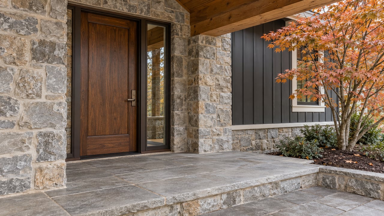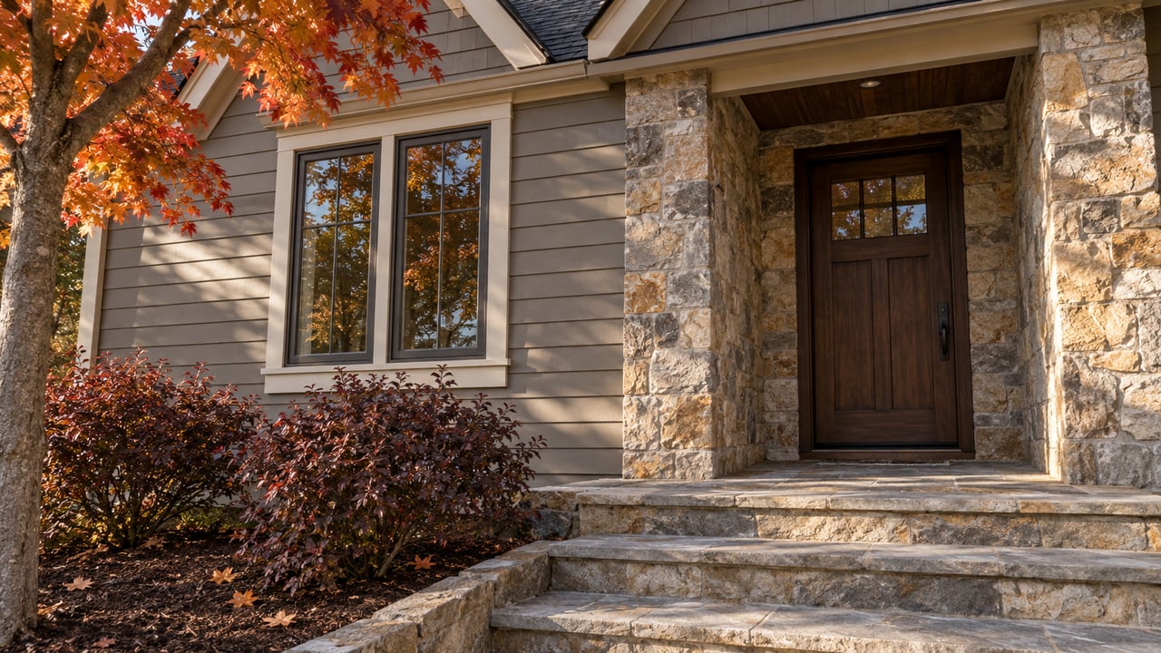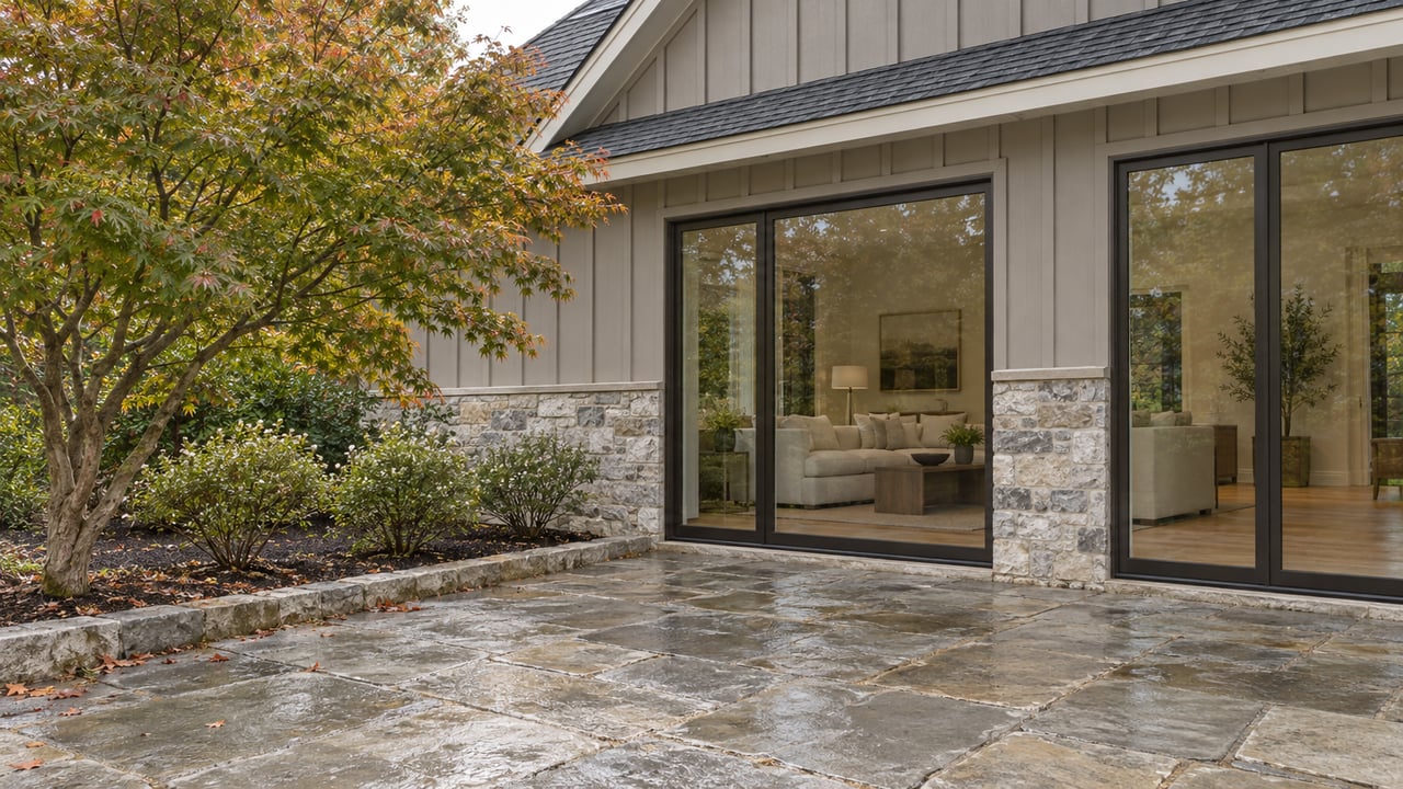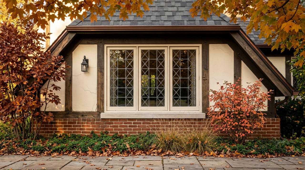
Autumn is when Federal Heights quietly earns its geography. The Wasatch bench that gives the neighborhood its views also gives it something rarer: a fifteen-minute walk from a Virginia Street porch to a singletrack that climbs into the foothills, and a not-much-longer walk to a botanical garden with a fall concert lineup. Most Salt Lake City neighborhoods offer one of those. Federal Heights offers both, and after a year of trail investment and land acquisition, the network you step into this October is measurably different from the one you stepped into last October.
That is the argument of this post. If you already live here, the practical question is not whether to walk this fall, it is which of the recent changes actually affects the loop you already know.
The Popperton trailhead you knew has been rebuilt
Salt Lake City Public Lands spent the last two years on a five-site foothill trailhead upgrade with a real budget behind it. The city committed $1.3 million and matched it with a grant from the Utah Division of Outdoor Recreation, split across Victory Road, Bonneville Boulevard, Popperton Park, Emigration Trailhead, and 18th Avenue. Popperton, the trailhead most Federal Heights walkers actually use, received a sewer-connected restroom, upgraded parking, and gravel-path landscaping as part of that work.
That matters less as a construction story than as a use-case story. The Popperton lot is the gateway to almost every foothill route worth taking from this neighborhood. When you leave from there now, you are leaving from a trailhead the city treats as core infrastructure, not an afterthought.
The loops worth learning before the leaves turn
Popperton Nature Park sits directly against the neighborhood and links into the wider Foothills system. The city's own trail routing lays out three walks that most residents can reach on foot without a car:
| Loop | Distance | Elevation gain | Character |
|---|---|---|---|
| West Popperton Hiking Loop | 0.8 mi | 121 ft | An easy perimeter walk on the west side of Spring Gulch, hiking only |
| Dry Creek to BST to Tomahawk via Federal Point | 4.6 mi | 840 ft | Climb Dry Creek to the Bonneville Shoreline Trail, descend Tomahawk, return through the Federal Point streets |
| Perry's, Twin Peaks, Dry Creek route | 3.5 mi | 715 ft | Open terrain with valley and Twin Peaks views, gentler grade |
The 4.6-mile Dry Creek loop is the one worth committing to memory. It uses the BST as its high spine, which means the color turn on the Gambel oak and bigtooth maple through mid-October is visible for most of the middle third of the walk. The Perry's Hollow section, the city notes, is not maintained by SLC Public Lands, so expect a rougher tread there than on the Dry Creek or Tomahawk segments.
For a shorter route with children or an out-of-town guest who wants a taste rather than a workout, the West Popperton loop reads as roughly a half-hour on foot, well-marked, and family-friendly, with the city's guidance to keep dogs leashed on account of the resident coyote, bird, and small-mammal populations that use Spring Gulch.
A quieter change: the foot-only stretch above City Creek
If your usual walk drifts west toward City Creek rather than east toward Emigration, one recent update reshapes the experience. Salt Lake City Public Lands has designated the West City Creek trail segment from the Bonneville Boulevard trailhead to the BST/West City Creek junction as foot traffic only. Bikers are now routed to an extended BST access roughly 400 feet south of the West City Creek trailhead on Bonneville Boulevard.
For a walker, that is a small ordinance change with an outsized quality-of-morning effect. The stretch nearest the Bonneville Boulevard trailhead is now the quiet segment of the network, the part where you are unlikely to step aside for a descending mountain bike. It is worth reorganizing a standing weekend loop around.
Why a $180,000 land deal near Emigration Canyon matters from your porch
In November 2025 the Salt Lake County Council voted unanimously to allocate $180,000 from a county open space trust fund to buy a 60-acre parcel at 3085 East Sherwood Drive, just south of the mouth of Emigration Canyon. The price worked out to roughly $3,000 per acre, which one council member on the record called ridiculously low, and which was possible because the owner offered the land to the county at that rate to keep it open rather than sell to a cash buyer.
The relevance to Federal Heights is geographic. The Bonneville Shoreline Trail, as Salt Lake City's Public Lands Department describes it, runs 13.5 miles in the city's stretch from North Salt Lake to Parley's Canyon. But there is a roughly five-mile gap in the county's east-side portion where the trail dissolves and users are currently routed through East Bench streets before rejoining natural surface near the Jacks Peak Trailhead. The Sherwood Drive parcel sits inside that gap.
Fill it and the porch-to-canyon walk from this neighborhood becomes a continuous trail experience rather than a trail-street-trail hybrid. Julie Peck-Dabling, associate director of planning for Salt Lake County Parks and Recreation, said the owner had received a cash offer and contacted the county first, giving it the opportunity to acquire before the parcel changed hands privately. No construction timeline has been announced. The land purchase is the first move.
Every trailhead investment, every foot-only reroute, every acre purchased at the gap has the same effect on daily life here: it lengthens the useful radius of a walk that starts at your own door.
Red Butte's fall calendar, on the same walk
The other half of a Federal Heights autumn is downhill of the trails, at Red Butte Garden. The Garden's public calendar lists a Fall Bonsai Show on October 3 and 4, followed by a Fall Orchid Show on November 7 and 8. Both are free to members and open to the public, and both are quiet by Red Butte's summer-concert standards, which is precisely the point in October and November.
The concert amphitheater does not go dark the moment the calendar turns. The 2026 Outdoor Concert Series carries into September with Bonnie Raitt on September 9, Brandon Flowers on September 11, and The Record Company with Cracker on September 20. If you have walked the Dry Creek loop in the afternoon and want a place to end the day, those three shows are within the same doorstep radius as the trailhead.
The larger point is a scheduling one. Fall in Federal Heights is not a shoulder season. It is the season when the trail network is at its most walkable, when the trailhead you use has been rebuilt, when the segment above City Creek is quieter than it has been in years, and when the botanical garden three-quarters of a mile downhill is running its two most refined shows of the year.
The through-line
The neighborhood has always had the geography. What changed in 2025 is that the geography got infrastructure behind it. A rebuilt Popperton trailhead, a foot-only West City Creek segment, and a county land purchase pointed straight at the last five-mile gap in the East Bench BST are not glamorous updates. They are the kind of quiet investments that make a doorstep walk incrementally longer, quieter, and more connected each year. That is the version of Federal Heights worth walking this October.
If you are thinking about how a home in Federal Heights or another East Bench neighborhood fits your life through the seasons, Whitney Foley Real Estate is here to walk the ground with you. Let's find your perfect property.